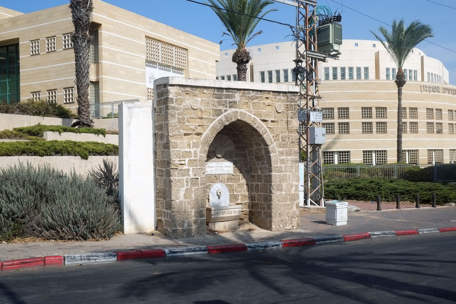
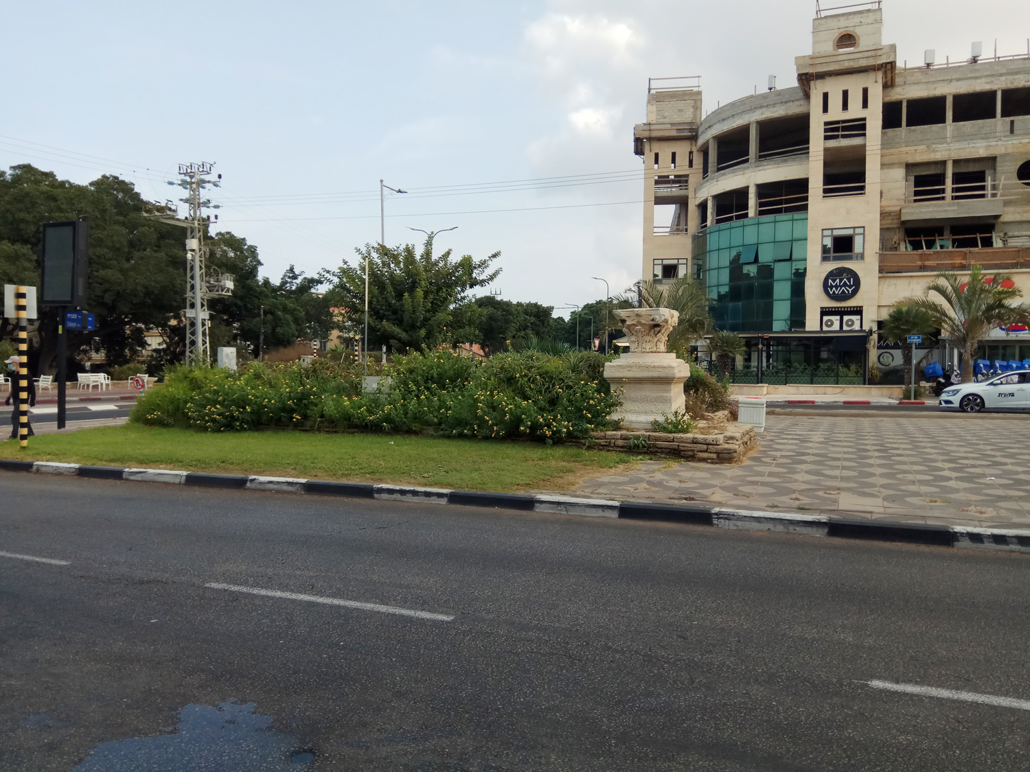
In addition to the sabil at the “main” entrance to city, another sabil is located in the heart of the city. This very impressive structure is located just outside of the Ashkelon Academic College on Eli Cohen Street near the intersection of Yitzhak Ben Zvi. The sabil was dedicated in 2004. Avi Cohen, senior lecturer in the Department of Land of Israel Studies at Ashkelon Academic College, wrote a paper, Historical geography of the Palestine southern coastal plain in the late Ottoman period and commented about the sabils*:
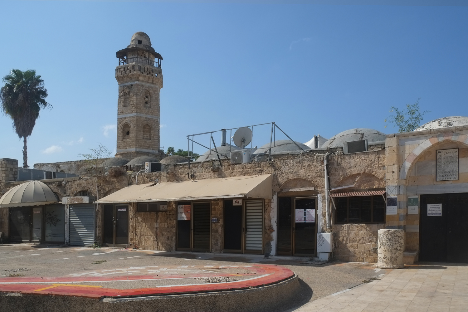
“About 10 sabils to provide water for passersby are preserved in the Ashkelon area, of which four are in the municipal area. One sabil was built on the main road between Majdal and Hamama to the village of al-Jura, which, as we have seen, was the main east-west road between the villages in the vicinity of Ashkelon (Figures 11 and 12). A second is located to the east of Majdal (Ashkelon junction), at the junction of the roads that passed along the coastal plain and the road from the east to Majdal (Figure 5). The other two sabils are preserved next to the road from al-Jura to Ni’ilya (Figure 4), alongside the road from Ni’ilya to Jia (Figure 13). In addition to these remains, there are cartographic testimonies of additional sabils in the region, close to these roads. We do not possess sufficient historical testimonies for these installations, except for those of Jean Thevenott from the seventeenth century, and those of Geikie, from the late nineteenth century. Thevenot relates that he saw a drinking installation by the side of the road in Majdal, and another sabil some distance northward from it. He also wrote that he saw pools.55 Geike, who went from Majdal to Gaza, describes a magnificent sabil at the side of the road:
A low cemented whitewashed structure, like a miniature saint’s tomb, with an opening breast-high on one side, stood by the road – a drinking fountain, filled daily by the kindness of women passing with their water-jars, to supply the way-farer with a cup of cold water, than which no gift is more precious in this dry and thirsty land.56
“The sabil at the Ashkelon junction first appears in a British map from 1917. This installation may then reasonably be dated to the Ottoman period, and apparently was built at the end of this period, when the roads in Palestine developed and the movement on them increased.
“During the British Mandatory period water supply technology advanced at a faster pace. Mechanized water pumps were put into operation throughout the land and gradually replaced the traditional methods of drawing water. This process did not pass over Ashkelon. In each of the above villages we located a number of mechanized wells: two in al-Jura, two in Ni’ilya, and a single well in Hasas. The mechanized wells were usually dug at the edge of the village, alongside the main road leading to it. Some of these wells operated until a few years ago.”


*Avi (Avraham) Sasson (2019) Historical geography of the Palestine southern coastal plain in the late Ottoman period – the Ashkelon region as a case study, Middle Eastern Studies, 55:6, 974-1004, DOI: 10.1080/00263206.2019.1596896
https://doi.org/10.1080/00263206.2019.1596896


